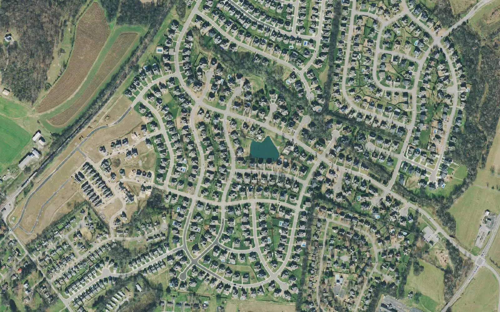
North of Duplex Road along Main Street, Spring Hill is in Williamson County: Harvey Park, Autumn Ridge and the Walmart and Publix stretch. Independence High.
Last checked Oct. 19, 2026. Sources: the City of Spring Hill’s public GIS map service (subdivisions, school zones, ZIP codes, wards, parks, historic sites and shopping centers layers), the city’s parks page and Harvey Park Greenway Plan, Williamson County Schools’ zoned school finder, the Tennessee Department of Education’s 2024-25 letter grades, the Zillow Home Value Index (Zillow Research) and OpenStreetMap (© OpenStreetMap contributors).
North of downtown, Main Street (U.S. 31) crosses into Williamson County. The subdivisions on both sides of it, out to Miles Johnson Parkway and Wilkes Lane, are the part of the city zoned for Amanda H. North Elementary. This is where most of Spring Hill’s big-box shopping sits, along Main Street, and where the city’s Harvey Park is.
What this means for you
- Zoned high school: Independence High, Williamson County Schools (2024-25 state letter grade: A).
- Home value: $515,567 in ZIP code 37174 in September 2026, according to the Zillow Home Value Index; $718,864 in 37179 for the northern streets.
- Nearest I-65 exit: Exit 53, Saturn Parkway, about 4.2 miles by road from Harvey Park; the Buckner Road interchange is about 4.9 miles.
Part of our Spring Hill neighborhoods guide.
Where it is
This guide groups the 13 subdivisions the city’s GIS maps in the Amanda H. North Elementary zone, with about 1,874 approved housing units. The largest are The Arbors at Autumn Ridge (425 units), Autumn Ridge (325), Belshire (170), Shannon Glen (156), Preston Park (138), Tanyard Springs (131), Bluebird Hollow (109) and Witt Hill (100); Churchill Farms, Loopers Landing, Cherry Glen, Buckner Place and Windstead Manor are smaller.
Main roads are Main Street, Miles Johnson Parkway, Wilkes Lane and Duplex Road to the south. Almost all of the area is in the city’s Ward 3. Nine of the 13 subdivisions are in ZIP code 37174; four at the north end (Churchill Farms, Cherry Glen, Loopers Landing and Buckner Place) are in 37179, the Thompson’s Station ZIP code, even though they are inside Spring Hill. Autumn Ridge and Bluebird Hollow straddle the county line in the city’s layer.
Two Main Street properties here are on the city’s historic sites list: the Scivally House, 4847 Main St., and the Pointer-Mitchum House, 5074 Main St.
On the Williamson County side the 2025 combined property tax rate was $2.009 per $100 of assessed value (county $1.27 plus city $0.739), according to the Tennessee Comptroller’s 2025 Tax Aggregate Report. See property taxes.
Schools
We checked every Williamson County subdivision in the city’s school zone layer against Williamson County Schools’ own zone lookup; all 13 here matched. Grades are from the state’s 2024-25 A-F letter grade file:
| School | Address | 2024-25 grade |
|---|---|---|
| Amanda H. North Elementary | 1726 Wilkes Lane | C |
| Heritage Middle | 4803 Columbia Pike, Thompson’s Station | A |
| Independence High | 1776 Declaration Way, Thompson’s Station | A |
Amanda H. North earned an A for achievement but an F for growth, which is why its overall grade is a C. Homes south of the county line go to Maury County schools instead. Check one address in the WCS zoned school finder and see full results on the Tennessee State Report Card. More in our schools guide.
Home values
Zillow’s typical home value for ZIP code 37174 was $515,567 in September 2026, up 0.4% from $513,611 a year earlier. For 37179, which takes in Thompson’s Station as well as Spring Hill’s north end, it was $718,864, up 1.2% from $710,236. The city figure was $518,832. The index is a modeled value for a typical mid-priced home, not a sale price, and is not published below the ZIP code level. More in home prices.
Parks and trails
- Harvey Park, 4001 Miles Johnson Parkway: two reservable shelters (Red Oak and Japanese Maple), a playground, a restroom, a quarter-mile walking trail and charcoal grills, according to the city’s parks page.
- Harvey Park Greenway: a planned 1.3-mile paved path from Harvey Park to Wilkes Lane, in the design phase.
More in parks and trails.
Getting around
- Main roads: Main Street (U.S. 31), Miles Johnson Parkway, Wilkes Lane and Duplex Road (state Route 247).
- Nearest I-65 exits: Exit 53, Saturn Parkway, or the Buckner Road interchange to the northeast.
- Distances by road from Harvey Park, measured on OpenStreetMap’s road network: about 1.8 miles to City Hall, 4.2 miles to the Saturn Parkway interchange, 4.9 miles to the Buckner Road interchange and 34 miles to Nashville International Airport. These are distances, not drive times.
- Transit: WeGo’s weekday Route 95 to Nashville leaves from the Spring Hill Kroger park-and-ride. See getting around.
Groceries and everyday stores
The city’s shopping centers layer places these along Main Street in or beside the area:
- Walmart, Publix, Aldi and Lowe’s, Main Street
- Kroger Marketplace, Main Street, at the north edge of the city on the Thompson’s Station side
Related: Longview and Campbell Station, Spring Hill neighborhoods and schools.
Frequently asked questions
What schools is Autumn Ridge in Spring Hill zoned for?
Amanda H. North Elementary, Heritage Middle and Independence High in Williamson County Schools, according to the district’s zone lookup and the city’s school zone layer. Their 2024-25 state grades were C, A and A.
Where is Harvey Park in Spring Hill?
At 4001 Miles Johnson Parkway. It has two reservable shelters, a playground, a restroom, a quarter-mile walking trail and charcoal grills.
Is north Main Street in Spring Hill a good place to live?
Here are the facts. The area holds Harvey Park and the Main Street stores including Walmart, Publix and Aldi, is zoned for Independence High (A for 2024-25), and the typical home value in ZIP 37174 was $515,567 in September 2026, according to Zillow.
Is north Spring Hill in Williamson County?
Yes. The part of Spring Hill north of roughly Duplex Road is in Williamson County, which means Williamson County Schools and a 2025 combined property tax rate of $2.009 per $100 of assessed value, against $2.649 on the Maury County side.
Have your say