Spring Hill splits into 10 areas across Maury and Williamson counties, with five high school zones. ZIP 37174 was valued at $515,567 in September 2026.
Last checked Oct. 19, 2026. Sources: the City of Spring Hill’s public GIS map service (city limits, subdivisions, school zones, ZIP codes, wards, parks, historic sites and shopping centers layers) and its “Spring Hill Rising” 2040 Comprehensive Plan; Williamson County Schools’ zoned school finder and Maury County Public Schools’ zoned school finder; the Tennessee Department of Education’s 2024-25 letter grades; the Tennessee Comptroller’s 2025 Tax Aggregate Report; the Zillow Home Value Index (Zillow Research); the Census Bureau’s QuickFacts for Spring Hill; and OpenStreetMap (© OpenStreetMap contributors).
Spring Hill is a city of about 55,765 people, according to the Census Bureau’s 2020-2024 American Community Survey, spread over about 18,835 acres, roughly 29 square miles, on the city’s own map. Three things shape where you live in it:
- Two counties. The line between Maury County to the south and Williamson County to the north runs across the city near Duplex Road. The county decides your school district and your county tax rate: Williamson County Schools and a combined 2025 rate of $2.009 per $100 of assessed value on the north side, Maury County Public Schools and $2.649 on the south side.
- Two main roads. Main Street (U.S. 31) runs northeast to southwest through the old downtown, and Saturn Parkway (state Route 396) links it to Interstate 65 at Exit 53. A second I-65 interchange, at Buckner Road, opened May 31, 2024.
- School zones that do not follow the city limit. Five high schools serve the city, one of them, Independence High, in Thompson’s Station, and on the north side the line between them runs through the middle of the Buckner Road area.
The city does not publish a list of neighborhoods, and its comprehensive plan describes types of places (residential, mixed-use, gateway and so on), not named areas. What it does publish is a map of 156 named subdivisions and the school zone each sits in. This guide groups those subdivisions into 10 areas by county, school zone and main road.
What this means for you
- Check the county first. North of Duplex Road you are in Williamson County Schools (zoned high schools Independence or Summit, both graded A for 2024-25); south of it you are in Maury County Public Schools (Spring Hill High, C, or Battle Creek High, A).
- One ZIP code covers most of the city: Zillow’s typical value for 37174 was $515,567 in September 2026, so it does not tell the areas apart. The north end’s 37179 was $718,864.
- I-65: Exit 53 at Saturn Parkway serves the south and middle; the Buckner Road interchange serves the northeast.
The 10 areas at a glance
| Area | County | ZIP | Approved units | Zoned high school (2024-25 grade) | Typical value in its ZIP, September 2026 | Guide |
|---|---|---|---|---|---|---|
| Downtown | Maury | 37174 | 816 | Spring Hill High (C) | $515,567 | Downtown |
| Beechcroft and Cleburne roads | Maury | 37174; Barton Hills 38401 | 2,325 | Spring Hill High (C) | $515,567 | Beechcroft and Cleburne |
| Saturn Parkway and Kedron Road | Maury | 37174 | 6,772 | Spring Hill High (C) | $515,567 | Saturn Parkway |
| Port Royal Road | Maury | 37174 | 2,534 | Battle Creek High (A) | $515,567 | Port Royal Road |
| Tom Lunn Road | Maury | 37174 | 4,755 | Battle Creek High (A) | $515,567 | Tom Lunn Road |
| North Main Street | Williamson | 37174; north end 37179 | 1,874 | Independence High (A) | $515,567; $718,864 | North Main Street |
| Longview and Campbell Station | Williamson | 37174 | 2,341 | Independence High (A) | $515,567 | Longview |
| Buckner Road | Williamson | Mostly 37179 | 4,156 | Split: Independence High (A), Summit High (A) | $718,864 | Buckner Road |
| June Lake and Wades Grove | Williamson | 37174, 37179 | 4,173 | Summit High (A) | $515,567; $718,864 | June Lake |
| Chapman’s Retreat and Allendale | Williamson | 37174 | 3,881 | Summit High (A) | $515,567 | Chapman’s Retreat and Allendale |
Approved units are the totals in the city’s subdivision layer, including homes not yet built. High schools are the zones in the city’s school zone layer; we checked every Williamson County subdivision against the district’s own lookup and all 70 matched. The Zillow Home Value Index is a modeled value for a typical mid-priced home, not a sale price; the city figure was $518,832. More in home prices and schools.
Downtown
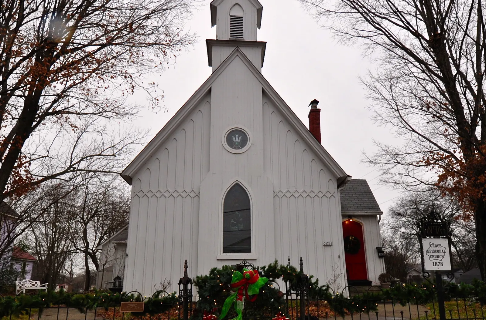
Main Street from Beechcroft Road to Duplex Road, with City Hall, the library and the Town Center to the west and most of the city’s designated historic buildings, from Ferguson Hall to Grace Episcopal Church. Evans Park, McLemore Park and the Walnut Street Skatepark are here. Zoned for Spring Hill High. Read the downtown guide.
Beechcroft and Cleburne roads
The west side, off Beechcroft Road and Cleburne Road, led by Harvest Point and Arbor Valley, with Spring Hill Middle School. All Maury County, zoned for the Spring Hill schools. Read the Beechcroft and Cleburne guide.
Saturn Parkway and Kedron Road
The middle of the city between Main Street and Port Royal Road: The Crossings, Kroger, the Spring Hill battlefield and the most approved units of any area, led by Legacy Pointe and Shadow Ridge. Zoned for Marvin Wright Elementary and Spring Hill High. Read the Saturn Parkway guide.
Port Royal Road
South of Saturn Parkway, from Denning Lane and Kedron Road to Port Royal Road, with Fischer Park, the city’s splash pad and the three Battle Creek schools. Southern Springs is the largest subdivision. Zoned for Battle Creek High. Read the Port Royal Road guide.
Tom Lunn Road
The southeast corner between Port Royal Road and I-65: Stonecreek, Brandon Woods, Meadowbrook and two large apartment complexes around Marvin Wright Elementary, 2.7 miles by road from Exit 53. Zoned for Battle Creek High. Read the Tom Lunn Road guide.
North Main Street
Main Street north of Duplex Road on the Williamson County side, with Harvey Park, Autumn Ridge and the Walmart, Publix, Aldi and Lowe’s stretch. Zoned for Amanda H. North Elementary and Independence High. Read the north Main Street guide.
Longview and Campbell Station
Commonwealth Drive and Campbell Station Parkway, around Longview Elementary and the county recreation center, with Wakefield and Campbell Station the largest subdivisions. Zoned for Independence High. Read the Longview guide.
Buckner Road
The north end on the Thompson’s Station line, mostly in ZIP 37179, with Newport Crossing and Brixworth. The high school zone splits here between Independence and Summit. Read the Buckner Road guide.
June Lake and Wades Grove
Buckner Lane to I-65 around the Buckner Road interchange, with Summit High, Spring Station Middle, the built-out Wades Grove and the June Lake development, approved for 2,926 homes. Read the June Lake guide.
Chapman’s Retreat and Allendale
Between Duplex Road and the Buckner Road area along Buckner Lane, split between Allendale and Chapman’s Retreat elementary schools, both graded A, and all zoned for Summit High. Read the Chapman’s Retreat and Allendale guide.
The map
The subdivision, school zone, ZIP code and ward boundaries behind this guide are on the City of Spring Hill’s interactive GIS map. Map credit: City of Spring Hill GIS. Each area guide uses a 2021 aerial from the U.S. Department of Agriculture’s National Agriculture Imagery Program, via the USGS National Map, except downtown. Street, store and road-distance data come from OpenStreetMap, © OpenStreetMap contributors.
How we built this
- The areas. The city publishes no neighborhood list, and the “Spring Hill Rising” comprehensive plan describes character area types, not named places, so neither could define areas. We used the city’s public GIS subdivision layer, which names 156 subdivisions, and grouped them by county, school zone and main road. Area names are the roads, schools and developments the city’s own map and project pages use. OpenStreetMap’s place names in and around the city are old rural crossroads, such as Kleburne near Cleburne Road, so we used them only as landmarks.
- School zones come from the city’s school zone layer. We checked all 70 Williamson County subdivisions in Williamson County Schools’ zone lookup, and every one matched. Maury County Public Schools’ finder does not answer automated lookups, so the Maury County zones are as the city maps them; check your address in the MCPS finder.
- Grades are the Tennessee Department of Education’s 2024-25 A-F school letter grades.
- Home values are the Zillow Home Value Index for ZIP codes 37174 and 37179 and for the city, September 2026.
- Tax rates are the 2025 actual rates in the Tennessee Comptroller’s Tax Aggregate Report.
- Distances on the area pages are measured along OpenStreetMap’s road network from a school or park in each area, not drive times.
Compare Spring Hill with its neighbors
Taxes, schools, home values and commutes for Spring Hill, Thompson’s Station, Columbia and Franklin are side by side in Spring Hill vs Thompson’s Station vs Columbia vs Franklin.
Related: moving to Spring Hill, property taxes, getting around and parks and trails.
Frequently asked questions
What are the neighborhoods in Spring Hill, Tennessee?
The city has no official neighborhood list. Using its own subdivision and school zone maps, this guide groups Spring Hill’s 156 mapped subdivisions into 10 areas: downtown, Beechcroft and Cleburne roads, Saturn Parkway and Kedron Road, Port Royal Road and Tom Lunn Road in Maury County, and north Main Street, Longview, Buckner Road, June Lake and Chapman’s Retreat and Allendale in Williamson County.
Which part of Spring Hill is in Williamson County?
Roughly everything north of Duplex Road. Homes there are served by Williamson County Schools and paid a 2025 combined property tax rate of $2.009 per $100 of assessed value, against $2.649 on the Maury County side, according to the Tennessee Comptroller.
What high schools serve Spring Hill?
Five. On the Maury County side, Spring Hill High (C for 2024-25) and Battle Creek High (A). On the Williamson County side, Summit High and Independence High, both A, depending on the street.
What ZIP codes are in Spring Hill?
Most of the city is 37174. Part of the north end along Buckner Road and Main Street uses 37179, the Thompson’s Station ZIP code, and a small corner in the south uses Columbia’s 38401.
How much is a house in Spring Hill?
Zillow’s typical home value was $518,832 for the city and $515,567 for ZIP code 37174 in September 2026, and $718,864 for 37179. These are modeled values, not sale prices.
Have your say