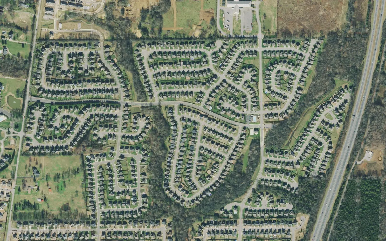
East Spring Hill by the Buckner Road interchange holds Wades Grove, Summit High and the June Lake project, approved for 2,926 homes. Zoned for Summit High.
Last checked Oct. 19, 2026. Sources: the City of Spring Hill’s I-65/Buckner Road Interchange page and public GIS map service (subdivisions, school zones, ZIP codes, wards and public buildings layers), Williamson County Schools’ zoned school finder, the Tennessee Department of Education’s 2024-25 letter grades, the Zillow Home Value Index (Zillow Research) and OpenStreetMap (© OpenStreetMap contributors).
The east edge of Spring Hill’s Williamson County side runs from Buckner Lane to Interstate 65. Since May 31, 2024, it has had its own I-65 interchange at Buckner Road, built to serve June Lake, the city’s largest planned development. Summit High and Spring Station Middle sit beside the finished subdivision of Wades Grove. It is all in the city’s Ward 1.
What this means for you
- Zoned high school: Summit High, Williamson County Schools (2024-25 state letter grade: A).
- Home value: $515,567 in ZIP code 37174 and $718,864 in 37179 in September 2026, according to the Zillow Home Value Index.
- Nearest I-65 exit: the Buckner Road interchange, about 1.7 miles by road from Summit High.
Part of our Spring Hill neighborhoods guide.
Where it is
This guide groups the four subdivisions the city’s GIS maps between Buckner Lane and I-65 in the Bethesda Elementary and Summit High zone:
| Subdivision | Approved units | ZIP | Status in the city’s layer |
|---|---|---|---|
| June Lake | 2,926 | 37179 | Planned zoning district; 774 single-family and 2,152 multifamily units approved |
| Wades Grove | 688 | 37174 | Built out: all 688 single-family homes have certificates of occupancy |
| Wilkerson Place | 436 | 37179 | 285 single-family homes and 151 townhomes approved; 168 certificates of occupancy |
| Caldwell Farms | 123 | 37174 | 52 single-family homes and 71 townhomes approved |
The city describes June Lake as a mixed-use development on Buckner Lane planned for 3.9 million square feet of commercial office space, 1.3 million square feet of retail and restaurant space, 2,900 homes and 400 hotel rooms, according to its interchange page. The 2021 aerial above predates most of it.
Main roads are Buckner Lane, Buckner Road, June Lake Boulevard and Spring Station Drive. On the Williamson County side the 2025 combined property tax rate was $2.009 per $100 of assessed value (county $1.27 plus city $0.739), according to the Tennessee Comptroller’s 2025 Tax Aggregate Report. See property taxes.
Schools
All four subdivisions returned the same three schools in Williamson County Schools’ zone lookup, matching the city’s school zone layer. Grades are from the state’s 2024-25 A-F letter grade file:
| School | Address | 2024-25 grade |
|---|---|---|
| Bethesda Elementary | 4907 Bethesda Road, Thompson’s Station | B |
| Spring Station Middle | 1000 Spring Station Drive | A |
| Summit High | 2830 Austins Way | A |
Spring Station Middle and Summit High are inside the area. Summit’s college and career readiness rate was 70.8% in the state file. Check one address in the WCS zoned school finder and see full results on the Tennessee State Report Card. More in our schools guide.
Home values
Zillow’s typical home value for ZIP code 37174 was $515,567 in September 2026, up 0.4% from $513,611 a year earlier. For 37179, which includes June Lake, Wilkerson Place and Thompson’s Station, it was $718,864, up 1.2% from $710,236. The Spring Hill city figure was $518,832. The index is a modeled value for a typical mid-priced home, not a sale price, and is not published below the ZIP code level. More in home prices.
Parks and trails
The city runs no park inside this area, and its parks layer shows only the school grounds of Spring Station Middle and Summit High here. The nearest city parks are Harvey Park, 4001 Miles Johnson Parkway, and Fischer Park at Port Royal, 4285 Port Royal Road; see parks and trails.
Getting around
- Main roads: Buckner Lane, Buckner Road and June Lake Boulevard.
- Nearest I-65 exit: the Buckner Road interchange, a diverging diamond, the third in Tennessee, the city says. The city paid $30 million of its $56.8 million cost, shared with the Tennessee Department of Transportation.
- Distances by road from Summit High, measured on OpenStreetMap’s road network: about 5.4 miles to City Hall, 1.7 miles to the Buckner Road interchange, 2.6 miles to the Saturn Parkway interchange at Exit 53 and 31.4 miles to Nashville International Airport. These are distances, not drive times.
- Transit: WeGo’s weekday Route 95 to Nashville leaves from the Spring Hill Kroger park-and-ride. See getting around.
Groceries and everyday stores
Neither the city’s shopping centers layer nor OpenStreetMap shows a supermarket in the area yet. The nearest is Kroger on Port Royal Road, south of Duplex Road.
Related: Buckner Road, Chapman’s Retreat and Allendale, road construction and Spring Hill neighborhoods.
Frequently asked questions
What is June Lake in Spring Hill?
A mixed-use development along Buckner Lane by the I-65 Buckner Road interchange. The city says it is planned for 3.9 million square feet of office space, 1.3 million square feet of retail and restaurants, 2,900 homes and 400 hotel rooms.
What schools is Wades Grove zoned for?
Bethesda Elementary, Spring Station Middle and Summit High in Williamson County Schools, according to the district’s zone lookup. Their 2024-25 state grades were B, A and A.
Is June Lake a good place to live?
Here are the facts. The area includes Wades Grove and the June Lake development, is zoned for Summit High (A for 2024-25), is about 1.7 miles by road from the Buckner Road interchange, and the typical home value in ZIP 37174 was $515,567 in September 2026 and in 37179 $718,864, according to Zillow.
When did the Buckner Road interchange open?
May 31, 2024. It is a diverging diamond and Spring Hill’s second I-65 interchange, after Saturn Parkway, according to the city.
Have your say