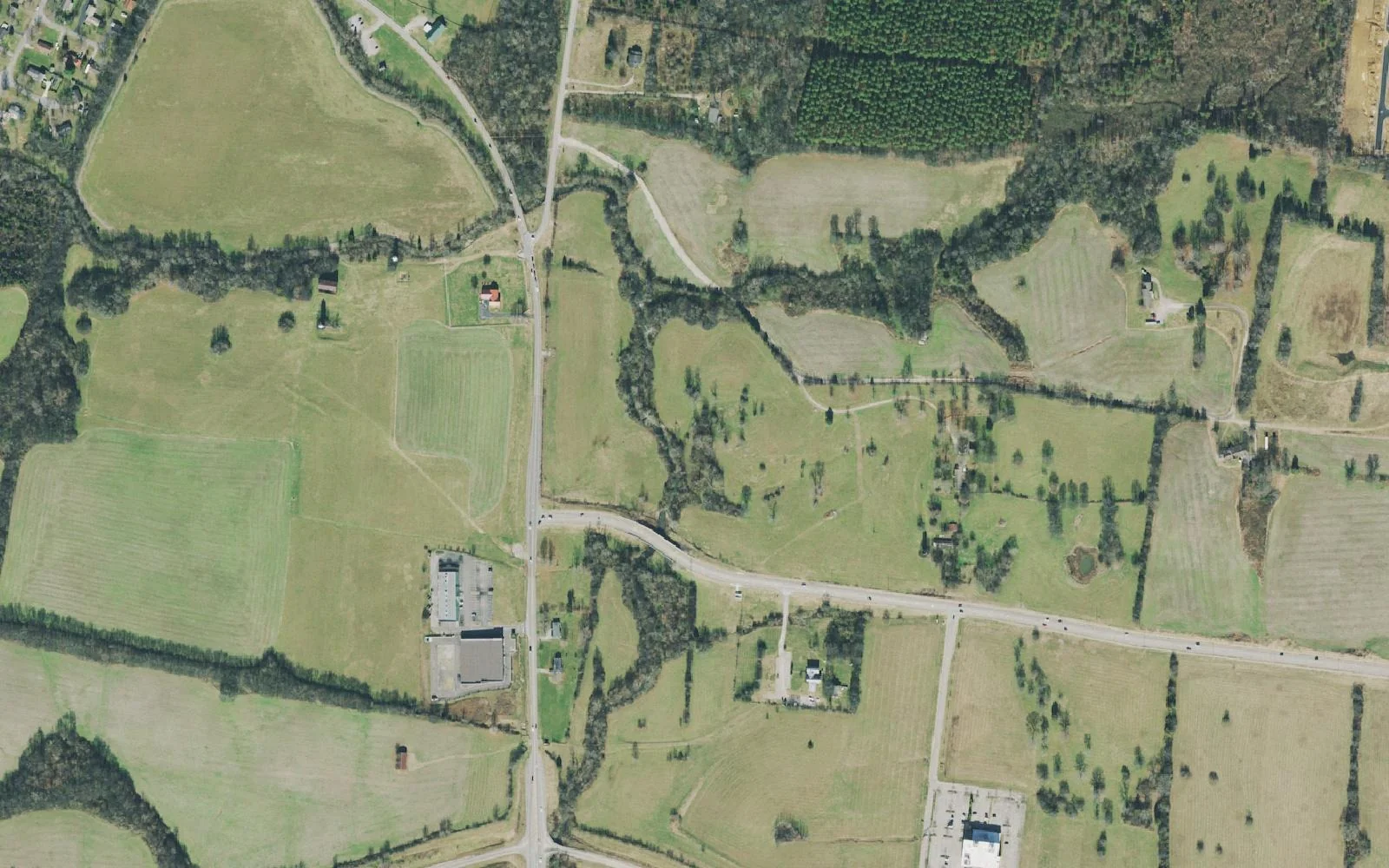
The middle of Spring Hill around Saturn Parkway and Kedron Road holds the battlefield, The Crossings and Legacy Pointe. Zoned for Spring Hill High.
Last checked Oct. 19, 2026. Sources: the City of Spring Hill’s public GIS map service (subdivisions, school zones, ZIP codes, wards, parks, historic sites and shopping centers layers), the city’s Crossings Circle Transportation Study, the American Battlefield Trust, Maury County Public Schools’ zoned school finder, the Tennessee Department of Education’s 2024-25 letter grades, the Zillow Home Value Index (Zillow Research) and OpenStreetMap (© OpenStreetMap contributors).
This is the middle of Spring Hill on the Maury County side: the land on either side of Saturn Parkway between Main Street and Port Royal Road, with Kedron Road cutting through it from the Town Center toward the southeast. It holds the city’s busiest shopping area, The Crossings, the preserved fields of the Spring Hill battlefield, and more approved housing units than any other area in this guide.
What this means for you
- Zoned high school: Spring Hill High, Maury County Public Schools (2024-25 state letter grade: C).
- Home value: $515,567 in ZIP code 37174 in September 2026, according to the Zillow Home Value Index.
- Nearest I-65 exit: Exit 53, Saturn Parkway, about 4 miles by road from the battlefield on Kedron Road.
Part of our Spring Hill neighborhoods guide.
Where it is
The city’s subdivision layer maps 20 subdivisions here with about 6,772 approved housing units. The largest are Legacy Pointe (1,600 units), Shadow Ridge (768), Kedron Square (517), Somerset Springs (480), Kingsley Place (396), Hardins Landing (355), The Reserve (339) and Southaven (336); Shadow Ridge, Kedron Square and Columns on Main sit on commercially zoned land, according to the layer. Port Royal Estates, Grand Reserve, Williams Park, Alaina Park and Dartford fill the east side toward Port Royal Road.
Main roads are Saturn Parkway (state Route 396), Kedron Road, Main Street (U.S. 31) and Port Royal Road. The Crossings sits on Crossings Boulevard and Crossings Circle near Main Street; the city studied traffic there in its Crossings Circle Transportation Study. The whole area is in ZIP code 37174. Nearly all of it is in the city’s Ward 4; the Port Royal Road edge is in Ward 1.
Maury County owners pay a combined $2.649 per $100 of assessed value for 2025 (county plus city), according to the Tennessee Comptroller’s 2025 Tax Aggregate Report. Port Royal Estates crosses into Williamson County, where the 2025 combined rate was $2.009. See property taxes.
History on the ground
- The Spring Hill battlefield, where the Battle of Spring Hill was fought Nov. 29, 1864. The American Battlefield Trust has saved more than 195 acres, with an interpretive walking trail on Kedron Road at Reserve Boulevard.
- Jerry Erwin Park on Kedron Road and the Odil-Boatright-Terrell-Jenkins Home, 3035 Reserve Blvd., both on the city’s historic sites list.
- Rippa Villa, 5700 Main St., at the west end of Saturn Parkway. See our Rippa Villa guide.
Schools
All 20 subdivisions are in one zone on the city’s school zone layer. Grades are from the state’s 2024-25 A-F letter grade file:
| School | Address | 2024-25 grade |
|---|---|---|
| Marvin Wright Elementary | 4714 Derryberry Lane | C |
| Spring Hill Middle | 3501 Cleburne Road | C |
| Spring Hill High | 1 Raider Lane (Columbia mailing address) | C |
The Battle Creek schools, graded C, B and A, serve the areas just south of here. Zone lines can run between neighboring streets, so check one address in the MCPS zoned school finder and see full results on the Tennessee State Report Card. More in our schools guide.
Home values
Zillow’s typical home value for ZIP code 37174 was $515,567 in September 2026, up 0.4% from $513,611 a year earlier; the city figure was $518,832. The index is a modeled value for a typical mid-priced home, not a sale price, and Zillow does not publish it below the ZIP code level, so it covers the whole ZIP, not this area alone. More in home prices.
Parks and trails
- Spring Hill battlefield trail, Kedron Road at Reserve Boulevard (American Battlefield Trust).
- Jerry Erwin Park, Kedron Road, shown on the city’s parks layer.
The city’s main park, Fischer Park at Port Royal, 4285 Port Royal Road, is a short drive south; see the Port Royal Road guide and parks and trails.
Getting around
- Main roads: Saturn Parkway (state Route 396), Kedron Road, Main Street (U.S. 31) and Port Royal Road.
- Nearest I-65 exit: Exit 53, where Saturn Parkway meets I-65.
- Distances by road from the battlefield on Kedron Road, measured on OpenStreetMap’s road network: about 1.8 miles to City Hall, 4 miles to the Saturn Parkway interchange and 35.9 miles to Nashville International Airport. These are distances, not drive times.
- Transit: WeGo’s weekday Route 95 to Nashville leaves from the Spring Hill Kroger park-and-ride. See getting around.
Groceries and everyday stores
From the city’s shopping centers layer and OpenStreetMap:
- Kroger, Port Royal Road
- Target and Kohl’s, The Crossings, Crossings Boulevard
Related: downtown Spring Hill, history and landmarks and Spring Hill neighborhoods.
Frequently asked questions
What schools serve the Saturn Parkway area of Spring Hill?
All 20 subdivisions the city maps here are in the Marvin Wright Elementary, Spring Hill Middle and Spring Hill High zones of Maury County Public Schools. All three earned a C on Tennessee’s 2024-25 letter grades.
Where can you walk the Spring Hill battlefield?
The American Battlefield Trust has an interpretive walking trail on Kedron Road at Reserve Boulevard, on more than 195 preserved acres.
Is the Saturn Parkway area a good place to live?
Here are the facts. It holds the Spring Hill battlefield, The Crossings shopping area and a Kroger, is zoned for Spring Hill High (C for 2024-25), is about 4 miles by road from I-65 Exit 53, and the typical home value in ZIP 37174 was $515,567 in September 2026, according to Zillow.
What stores are near Saturn Parkway in Spring Hill?
Target and Kohl’s at The Crossings on Crossings Boulevard, and Kroger on Port Royal Road, according to the city’s shopping centers map and OpenStreetMap.
Have your say