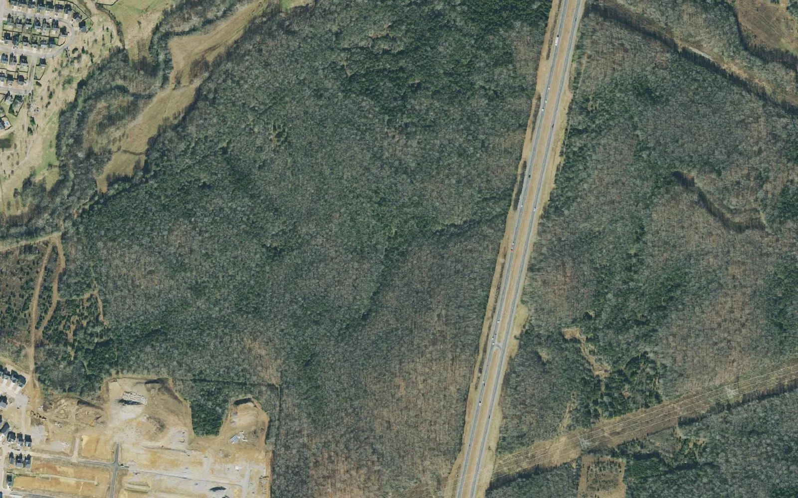
Southeast Spring Hill off Tom Lunn Road and Derryberry Lane holds Stonecreek and Marvin Wright Elementary, 2.7 miles from I-65. Zoned for Battle Creek High.
Last checked Oct. 19, 2026. Sources: the City of Spring Hill’s public GIS map service (subdivisions, school zones, ZIP codes, wards, parks and public buildings layers), Maury County Public Schools’ zoned school finder, the Tennessee Department of Education’s 2024-25 letter grades, the Zillow Home Value Index (Zillow Research) and OpenStreetMap (© OpenStreetMap contributors).
The southeast corner of Spring Hill sits between Port Royal Road and I-65, south of Saturn Parkway. Tom Lunn Road runs north and south through it, Derryberry Lane and Jim Warren Road cross it, and Marvin Wright Elementary sits in the middle. It is all in Maury County, ZIP code 37174 and the city’s Ward 4, and it is the closest part of the Maury County side to the interstate.
What this means for you
- Zoned high school: Battle Creek High, Maury County Public Schools (2024-25 state letter grade: A).
- Home value: $515,567 in ZIP code 37174 in September 2026, according to the Zillow Home Value Index.
- Nearest I-65 exit: Exit 53, Saturn Parkway, about 2.7 miles by road from Marvin Wright Elementary.
Part of our Spring Hill neighborhoods guide.
Where it is
This guide groups the 16 subdivisions the city’s GIS maps east of Port Royal Road in the Marvin Wright Elementary and Battle Creek High zone. Together they hold about 4,755 approved housing units. The largest are Stonecreek (1,098 units), Brandon Woods (721), the Worthington Glen apartments (564), Meadowbrook (466), the Revere at Spring Hill apartments (408) and Spring Hill Town Crossing (334). Sawgrass, Sawgrass West, Derryberry Estates, Woodland Trace, Crystal Creek, The Cove at Spring Hill, Cobblestone Village, Abbington Downs and the Enclave at Brandon Woods make up the rest.
Main roads are Tom Lunn Road, Derryberry Lane, Jim Warren Road and Jim Warren Parkway, with Saturn Parkway along the north edge. The city’s points of interest layer also shows several industrial employers along the Saturn Parkway side of the area.
Maury County owners pay a combined $2.649 per $100 of assessed value for 2025, county and city together, according to the Tennessee Comptroller’s 2025 Tax Aggregate Report. See property taxes.
Schools
All 16 subdivisions are in one zone on the city’s school zone layer. Grades are from the state’s 2024-25 A-F letter grade file:
| School | Address | 2024-25 grade |
|---|---|---|
| Marvin Wright Elementary | 4714 Derryberry Lane | C |
| Battle Creek Middle | 121 Battle Creek Way | B |
| Battle Creek High | 130 Battle Creek Way | A |
Marvin Wright Elementary also feeds Spring Hill Middle and Spring Hill High from the subdivisions north of Saturn Parkway, so the middle and high school depend on which side of the parkway a home is on. Check one address in the MCPS zoned school finder and see full results on the Tennessee State Report Card. More in our schools guide.
Home values
Zillow’s typical home value for ZIP code 37174 was $515,567 in September 2026, up 0.4% from $513,611 a year earlier; the city figure was $518,832. The index is a modeled value for a typical mid-priced home, not a sale price, and Zillow does not publish it below the ZIP code level, so apartments and houses here are counted with the rest of the ZIP. More in home prices.
Parks and trails
The city runs no park inside this area. Fischer Park at Port Royal, 4285 Port Royal Road, is just to the west, with the city’s splash pad, three pavilions, a playground, a half-mile walking trail, a basketball and tennis court and football fields, according to the city’s parks page. See the Port Royal Road guide and parks and trails.
Getting around
- Main roads: Tom Lunn Road, Derryberry Lane, Jim Warren Road, Port Royal Road and Saturn Parkway (state Route 396).
- Nearest I-65 exit: Exit 53, Saturn Parkway.
- Distances by road from Marvin Wright Elementary, measured on OpenStreetMap’s road network: about 6 miles to City Hall, 2.7 miles to the Saturn Parkway interchange and 34.7 miles to Nashville International Airport. These are distances, not drive times.
- Transit: WeGo’s weekday Route 95 to Nashville leaves from the Spring Hill Kroger park-and-ride. See getting around.
Groceries and everyday stores
Neither the city’s shopping centers layer nor OpenStreetMap shows a supermarket inside the area. The nearest is Kroger on Port Royal Road, north of Saturn Parkway.
Related: Port Royal Road, Saturn Parkway and Kedron Road and Spring Hill neighborhoods.
Frequently asked questions
What schools serve Stonecreek and Brandon Woods in Spring Hill?
The city’s school zone layer puts both, and the other 14 subdivisions off Tom Lunn Road and Derryberry Lane, in the Marvin Wright Elementary, Battle Creek Middle and Battle Creek High zones. Their 2024-25 state grades were C, B and A.
How far is Tom Lunn Road from I-65?
About 2.7 miles by road from Marvin Wright Elementary to the Saturn Parkway interchange at Exit 53, measured on OpenStreetMap’s road network.
Is the Tom Lunn Road area of Spring Hill a good place to live?
Here are the facts. It holds 16 subdivisions with about 4,755 approved housing units, including two large apartment complexes, is zoned for Battle Creek High (A for 2024-25), and the typical home value in ZIP 37174 was $515,567 in September 2026, according to Zillow.
Where is Marvin Wright Elementary?
At 4714 Derryberry Lane in southeast Spring Hill. It earned a C on Tennessee’s 2024-25 letter grades.
Have your say